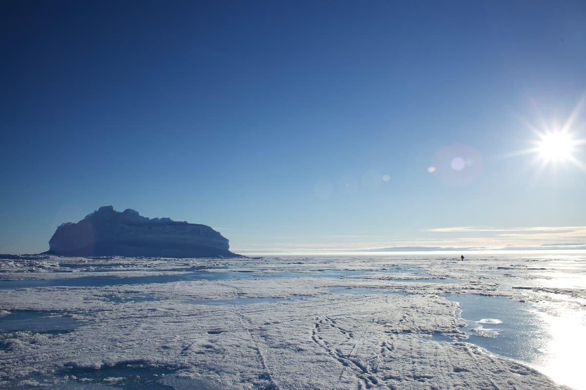
View from the Müller Ice Core camp on Axel Heiberg Island, Nunavut. Photo credit: David Babb
A year of fieldwork
Getting your hands cold in the Last Ice Area
The Last Ice Area is one of the most isolated and inhospitable places on Earth—yet it is stunningly beautiful and provides a tangible goal for action to support our changing climate. DAVID BABB writes about the challenges and rewards of doing fieldwork in this remote area.
As a sea ice scientist, a big part of my job is understanding the conditions in the Last Ice Area and filling in the knowledge gaps that exist. Some of our questions may seem basic, but answering them can be surprisingly challenging because of the demands of working here.
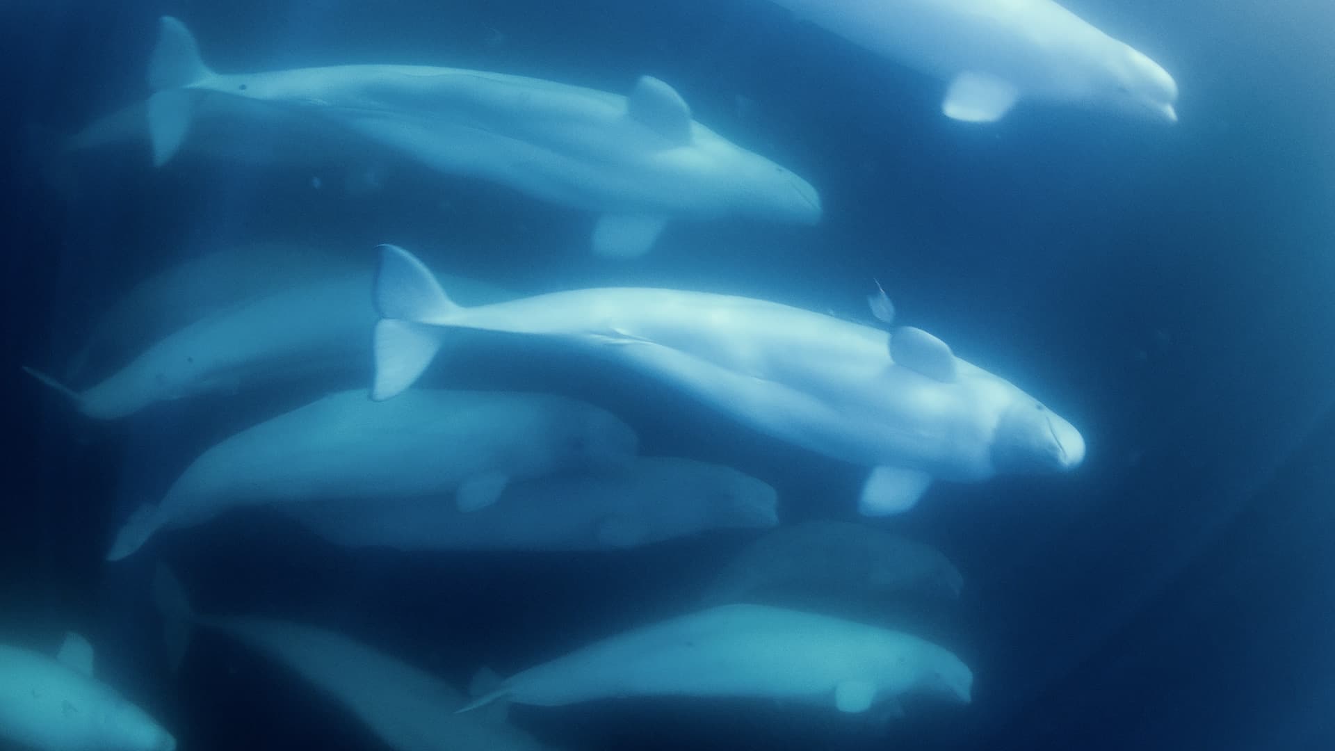
They include: How thick and how old is the ice? How much does it melt during summer and grow during winter? What lives in and around it? How are these characteristics changing? And perhaps most importantly, what will it be like in the future? Will the ice survive?
Nothing replaces being there
My colleagues and I at the University of Manitoba work with national and international collaborators to answer these questions. I have been fortunate to visit the Last Ice Area several times, taking in splendid views of fjords and glaciers that few others have witnessed.
We have camped on remote glaciers during whiteout blizzards, travelled over thin sea ice during polar nights, and confronted thick sea ice while navigating narrow, uncharted waters.
Satellites can offer insight into the current status of the Last Ice Area, and models can provide a view of what it may look like in the future. But nothing replaces being there to appreciate the complexity of the environment.
As my former supervisor, Dr. David Barber, always said, “You need to get your hands cold.”

A close-up of David Babb during field work in Eureka Sound. Photo credit: David Babb
Why go through all of this? Partly for the adventure, and partly for the challenge of problem-solving in these conditions. But most importantly, we are motivated by the unending quest to better understand this critical environment.
David Babb, research associate with the Centre for Earth Observation Science at the University of Manitoba in Canada.
August 2024: Shipboard sampling
We are aboard the CCGS Des Groseilliers, which is making the annual resupply run to the Eureka Weather Station on Ellesmere Island in the Canadian territory of Nunavut. There is a brief window in late August and early September when the ice pack breaks up enough for ships to resupply Eureka with fuel and other materials for the next year. If it’s not on this boat, it has to come in by airplane, which is expensive.
Two of us are sampling the salinity, temperature and other properties of the waters along the route. This is the first time in more than 50 years that water samples have been taken in this northernmost passage through the Canadian Arctic. The observations reveal an increase in the presence of Pacific water, which is fresher (less saline) than Atlantic water, reflecting an overall freshening of the Arctic Ocean as a result of climate change.
The highlight of the cruise is making it to the edge of Nansen Sound, facing out into the Arctic Ocean—an area that until recently was covered by a semi-permanent landfast ice feature called the Nansen ice plug.
The plug prevented polar explorers from venturing into this area in the early 20th century. But because of climate warming and declining ice conditions, it is less stable now and collapses more often, affecting how sea ice moves within the Last Ice Area.

The CCGS Des Groseilliers at Eureka on Ellesmere Island, Nunavut. Photo credit: David Babb
November 2024: The polar night
Later this fall, we’re back at Eureka, but this time the sun never rises. It’s polar night. The ice in Eureka Sound—the narrow waterway between Ellesmere and Axel Heiberg islands—formed only three weeks ago, but is already thick enough to travel on safely.
We will travel 20 kilometres by snowmobile through the darkness to the middle of Eureka Sound, stopping every 500 metres to ensure the ice is still thick enough.
We dodge icebergs that appear only once they are in range of our headlights. The lights of Eureka shimmer behind us, but Eureka Sound is dark, cold and windy.
We are standing on ice that is just 35 centimetres thick in the middle of nowhere—yet there is an otherworldly calmness. Very few people have ever travelled to Eureka Sound at this time of year. These are the moments that stay with me.
Pretty soon, the mooring is in the water and the ice mass balance buoy is deployed in the ice. Together, these pieces of equipment will monitor the evolution of the ocean and growth of the ice throughout winter, providing us with unique insights into the growth and melt of sea ice in the Last Ice Area.
My colleagues will return in May to recover the equipment, but I’ll be on a different adventure by then.

Eureka Weather Station. Photo credit: David Babb

Deploying Equipment in Eureka Sound. Photo credit: David Babb

Eureka Sound, Nunavut, in the Canadian High Arctic. Photo credit: David Babb
March 2025: A two-month ice camp
By the following spring, I’m back in Eureka, and it’s brutally cold: minus 40ºC. Believe it or not, we’re about to go camping for two months.
Two hundred kilometres west of Eureka on Axel Heiberg Island is the Müller ice cap, which is thought to have survived since the last glacial period more than 10,000 years ago. We are an international team that will live on the ice cap for two months as we drill an ice core that we hope will provide a record of the climate and sea ice conditions in the Last Ice Area.

Frozen at the Müller Ice Core camp. Photo credit: David Babb
20 tonnes of gear
A Twin Otter plane equipped with skis drops three of us. We have three days to set up camp and groom a ski-way for the larger planes that will deliver the 20 tonnes of gear we will need.
The emergency beacons and satellite phones are all working, so we give the pilots a thumbs-up. They fire up the engines and take off, leaving us alone on top of the ice cap.
On the first night, I cannot sleep. I’m cold despite wearing several warm layers and being inside a very thick sleeping bag with an extra parka and sheepskin layered on top, and I cannot shake the chill. Eventually, I abandon the idea of sleep. Up here, movement is the only way to stay warm.
After several hard days, the camp grows to 11 people and more than 25 tents, only one of which—the kitchen tent—has heat.
Precious ice core
We begin drilling in two shifts for more than 16 hours a day during a period of 24-hour daylight. The team is fantastic, the cook keeps us well fed, and Starlink keeps us connected to the rest of the world.
After two months, we reach bedrock at 613 metres, making this the deepest ice core ever drilled in the Americas. We pack up the camp. Soon, other than a small hole, there is no trace that we were ever there.
The ice core is precious. There is only one, and it must be preserved as it makes its way south to the Canadian Ice Core Lab at the University of Alberta. Once there, the core will be sampled, and more than 10,000 years of data on air temperatures, sea ice conditions, contaminants, volcanic eruptions and many other environmental factors will be revealed.

David Babb (left) and Dorthe Dahl-Jensen (right) with a section of the Müller ice core. Photo credit: David Babb

Part of the Müller ice core in the core barrell. Photo credit: David Babb
September 2025: The Amundsen expedition
It’s late summer, and once again, I’m sailing north through Eureka Sound. But this time, instead of just two scientists, there are 40 scientists (and 40 crew) aboard Canada’s research icebreaker, the CCGS Amundsen. The plan is to conduct a complete oceanographic survey of the Queen Elizabeth Islands.
The Amundsen is equipped to sample everything from the seafloor to the atmosphere and the surrounding sea ice, glaciers, rivers and land. But it has never operated in these waters before—in fact, we’re venturing into areas where ships have never been.
The ship runs 24 hours a day, often with multiple operations underway simultaneously, involving the foredeck, the helicopter, zodiac and other systems.

CCGS Amundsen crew. Photo credit: Amundsen Science
Intensive and extensive work
The work quickly moves from collecting sediment cores that provide a record of past conditions to sending teams out to sample waters near glacier termini (the outer edges of the glaciers where they meet the water).
Other teams tow nets to see which zooplankton, phytoplankton and fish form the base of the food web in these waters.
Eventually, it’s time for a day on the sea ice. After poring over satellite imagery, we choose a floe and park beside it. We disembark and spend the day drilling, coring and scanning the ice. We sample everything from new ice—just 10 centimetres thick, covered in frost flowers—up to multi-year sea ice more than seven metres thick.
Working on sea ice in summer means dealing with bad weather, fussy equipment, and the constant battle of everything getting wet.
Despite the weather conditions, we’re able to characterize the ice, collect a wide range of samples for analysis, and deploy autonomous instruments that will continue to monitor the growth and movement of the ice as it freezes during winter.
In 28 days, we travelled more than 5,000 nautical miles (9,200 kilometres), conducted more than 300 scientific operations, and completed the first oceanographic survey of the Queen Elizabeth Islands.

A polar bear checks out the CCGS Amundsen in Penny Strait. Photo credit: Nick Decker
Hope for the future
Research programmes like these provide a record of past conditions and a baseline we can use to guide future projections of the Last Ice Area. Our work to date has largely focused on one portion of the Last Ice Area, but there are others to explore.
Fieldwork is challenging. Our hands are constantly cold, and we spend many weeks away from friends and families—but it scratches the itch of adventure and contributes to the protection of a critical Arctic ecosystem. After all, what happens in the Arctic doesn’t stay in the Arctic.
As a scientist, I hope we can preserve the Last Ice Area—and as a father, I hope we can avoid the worst projections of an increasingly inhospitable planet for future generations.
Note: Information, findings, and viewpoints presented in articles authored by external contributors are their own and do not necessarily represent WWF positions, policies, or interpretations. For general inquiries, please email info@arcticwwf.org.


By David Babb
David Babb is a research associate with the Centre for Earth Observation Science at the University of Manitoba in Canada.